Tuesday, January 02, 2007

King's Inn (Baffin Bay)


The November/December 2006 issue of the AAA magazine Texas Journey has an article called "Delicious Detours" where they list 13 restaurants in Texas that are "worth the trip." One of the restaurants on the list is King's Inn at Baffin Bay. I read the review with interest because I had been there earlier (May 2006), and, for me, I would say it was questionable whether the trip was worth it (at least on the day I was there).

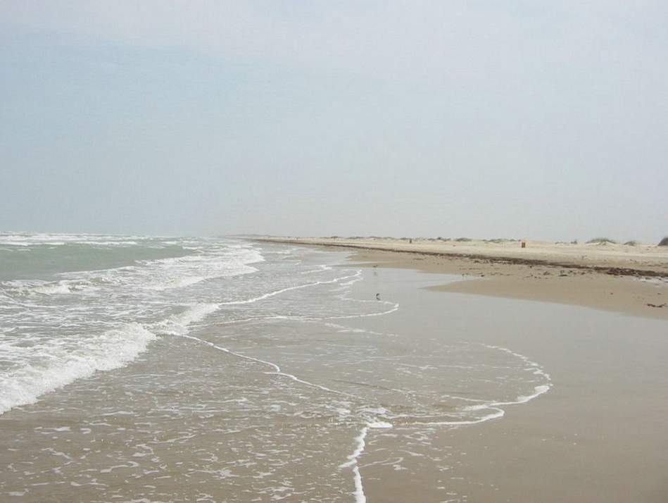
To get to the restaurant, you go down U.S. 77 about 24 miles (38.6 km) south of Kingsville. You take a left at Highway 628 (cross the median, then cross 77 northbound traffic). After about 9 miles (14.5 km), 628 curves right, but keep straight and you'll enter a gravel road. This road leads to the restaurant and Baffin Bay. To say the least, the restaurant is remote.

I found the exterior and interior to be a bit drab. We sat in the large main area by ourselves. The room off the main area with the good view of the bay was filled up. However, we did have a good view of the kitchen with its stained ceiling.

A waitress approached our table and asked what we wanted. Mind you, this is a menu-less restaurant. Although I was aware of that fact, I was expecting some kind of verbal guidance. Perhaps a better first question would have been "Have you been here before?" Once we got an idea of the offerings, we had to gauge how much food we wanted. Everything comes in one pound increments, and I had no idea what a pound of, say, crab looked like. Little help from the waitress on this, as well.

We ended up ordering a pound of fish, shrimp, and crab. The waitress returned announcing they were out of crab. We changed to scallops. Unfortunately, we forgot to specify boiled, so we got fried scallops.

The meal started with a Bombay salad, which I found really good; it tasted like it had curry in it. I found all the food tasty (even the fried scallops), but nothing seemed exceptional to me. We ended up with way too much food, which went to waste because we were traveling and couldn't refrigerate it. The bill for this two-person lunch with average tip came close to 65 dollars!

I was disappointed with this first-time visit. The word "overrated" came to mind. However, I'm willing to give a place that has been a landmark for 70 years a second chance . . . if I'm in the area again.

My rating: 3/5 stars

Tuesday, September 12, 2006

Sabal Palm Audubon Sanctuary (Brownsville)

(A sabal palm at Sabal Palm Audubon Sanctuary at Brownsville)

In southeast Brownsville, you'll find the Sabal Palm Audubon Sanctuary, which was acquired by the National Audubon Society in 1971. The Rio Grande delta was once blanketed by thousands of acres of palms. The largest surviving remnant of this forest can be found here. Not far from the sanctuary's parking lot, you'll pass what looks like a haunted house. I found out later that it's the Rabb Plantation House.

The sanctuary has four short hiking trails. For me, the Resaca Loop Trail (1.1 miles, 1.8 km), which includes a wetlands bridge, was the most interesting. In certain places, it really felt like a jungle. According to the Texas Handbook by Joe Cummings, in 1930 this area was chosen for the filming of a movie because of its resemblance to West Africa.

Links:

Saturday, August 12, 2006

Brazos Island State Park

(Brazos Island State Park, looking towards Rio Grande)


(Portuguese Man O' War washed ashore at Brazos Island State Park)

Brazos Island State Park, also called Boca Chica State Park, is located about 6 miles (9.7 km) from Port Isabel as the crow flies. However, to arrive there by car you must go the long way by taking Highway 48 into Brownsville and then taking Highway 4 (Boca Chica Boulevard) back the same direction. Both ways are roughly 23 miles (37 km).

Highway 48 runs along the Brownsville Ship Channel, a 17-mile (27.4 km) waterway that runs from Brazos Santiago Pass to the Port of Brownsville, which opened in 1936. Along Highway 4, about 12 miles (19.3 km) from Brownsville, is a historical marker commemorating the Battle of Palmito Ranch, a Civil War battle that occurred 34 days after Lee surrendered at Appomattox. Apparently, news traveled slow in those days, which was unfortunate for the casualties of this pointless battle. The historical marker is about all there is to see, so it's a brief stop.

Further along, we passed a border patrol checkpoint on the opposite side of the road. On our way back we got to answer the usual "are you U.S. citizens" kinds of questions.

You know you've reached the park when Highway 4 turns into sand (keep driving and you go into the ocean). This area is sparsely developed and the beach has no facilities. I don't even remember seeing any portable toilets. If you are trying to get away from it all, this is the place to go.

If you take a right and go south you'll eventually reach the mouth of the Rio Grande. Located on both sides of the river once stood two towns that thrived during the Civil War, Clarksville on the U.S. side and Bagdad in Mexico. With a Union blockade in effect, the Confederacy managed to export their cotton by transporting it to Bagdad. The Union could not interfere with the trade once it was on the Mexican side of the border.

The shipping of cotton from Clarksville to Bagdad ended in 1863 when Union forces captured the area. Afterwards, cotton still made its way to Bagdad, but its transport originated further west along the river. Clarksville declined after this, and at the end of the Civil War, Bagdad followed. In 1867, a hurricane destroyed both towns.

Waking along the shore of Boca Chica beach we spotted several of these small blue, balloon-like objects. I had no idea what they were. Later, I found out they were the bodies of Portuguese man-of-war that had washed ashore. I was thankful I didn't touch one because even dead they can give a painful sting.

South Padre Island Beaches

South Padre Island Beach(South Padre Island Beach)


South Padre Island, Isla Blanca Park(South Padre Island, Isla Blanca Park)

Being a Houston resident, I'm somewhat starved for nice beaches with clean water. On the trip to South Padre Island I was hoping to see both. I did, sort of. The public beaches that line Gulf Boulevard weren't the best. The sand was dirty, and I was hoping the water would be cleaner. Later, a clerk at a beach supply store told me her favorite beach area was at Isla Blanca Park. The next day we visited this southernmost point of South Padre Island. After paying the 4 dollar entrance fee, we drove around until we found what looked like a good spot. The quality of the sand was much nicer. The water was still just okay, but it was better than what I was used to. The visit would have been more enjoyable if not for the strong winds and mini sandstorm that hit the beach. We evacuated quickly to the showers (another Isla Blanca plus) to wash off the sand.

After returning from vacation, I saw an interesting article in the July 2006 edition of National Geographic. The article, "Land on the Edge," talks about the state of America's coastlines. It says that Padre Island is a "catcher's mitt for tons of trash each year." There are pictures of hazardous materials crews at Padre Island National Seashore cleaning up the oil industry's garbage that regularly washes ashore.

How much this affects South Padre Island the article didn't say.

Tuesday, August 01, 2006

Laguna Madre Nature Trail (South Padre Island)

Laguna Madre Nature Trail

Laguna Madre Nature Trail


Central Power and Light
Next to the South Padre Island Convention Centre and Whaling Wall is the Laguna Madre Nature Trail, a 1500 ft (457 m) boardwalk that spans over a wetlands area. The boardwalk was nice, but I couldn't understand why it was built adjacent to a Central Power and Light Company station. I found it disconcerting walking over a wetlands area and hearing the hum and crackle of electrical lines. Later, I learned that the power company built the boardwalk as part of a mitigation project due to destruction caused from the placement of underground lines.

The July 2006 edition of Texas Parks & Wildlife magazine ranked the Laguna Madre Nature Trail boardwalk number 3 in a top 10 list of Texas boardwalks. On this same trip, I walked the boardwalk at Sabal Palm Audubon Center (Resaca Loop Trail) at Brownsville; this boardwalk got honorable mention. I thought the Sabal Palm's boardwalk was more memorable; I actually said "wow" when the jungle opened up before me. The power plant boardwalk elicited a "yikes."

That being said, I would visit the boardwalk again. It offers a great place to view birds when they are around, and, supposedly, it offers an ideal spot to view sunsets.

Links:

Wednesday, July 26, 2006

Whaling Wall #53 (South Padre Island)

Whaling Wall
Gracing the walls of the South Padre Island Convention Centre is a huge mural done by the artist Wyland. To increase public awareness for all sea life (not just whales), he made it his goal to complete 100 such Whaling Walls throughout the world by the year 2011; currently, he's on number 84. His first mural was completed in 1981 at Laguna Beach, California. After much persistence, the city of South Padre Island convinced him to paint a Whaling Wall in their town, which he did in March 1994. He has murals all over the United States, as well as in Mexico, Canada, France, Japan, Australia, and New Zealand.

Links:

Sunday, July 23, 2006

City of South Padre Island

Padre Island used to be a continuous 113-mile (182 km) stretch of barrier island. In 1962, with the completion of the Mansfield Channel, a North and a South Padre Island were formed.

South Padre Island is approximately 34 miles (55 km) long, bounded by Brazos Santiago Pass to the south and the Mansfield Channel to the north. On the other side of the Mansfield Channel is North Padre Island and the beginning of Padre Island National Seashore. Padre Island National Seashore runs for about 66 miles (106 km), and the remaining 13-or-less miles (21 km) of Padre Island takes you towards Corpus Christi.

South Padre Island has a city of the same name located at its southernmost tip. The city of South Padre Island is hugely popular with the spring break crowd. I didn't know quite what to expect when I visited, but I was expecting it to be bigger. The town proper is only about 5 miles (8 km) long and about 1/2 mile (.8 km) at the widest point.

The layout is nice and simple. Padre Boulevard (Park Road 100) is the main drag through the center of town. Turn towards the Gulf of Mexico and you hit Gulf Boulevard. Turn towards Laguna Madre and you hit Laguna Boulevard. Both Laguna Boulevard and Gulf Boulevard have numerous access points to their respective bodies of water.

On the south side of the city is the popular Isla Blanca Park and the relatively new Schlitterbahn Beach Waterpark, which opened in 2001. On the north side of town is Andy Bowie Park, the convention centre with its Whaling Wall, and a scenic boardwalk. While traveling the length of the town, you'll pass restaurants, clubs, beach supply stores, hotels, and various other accommodations.

We visited during the off-season (mid-May), so traffic was minimal and getting around was easy. What it's like when the crowds arrive, I can only imagine.

Links: